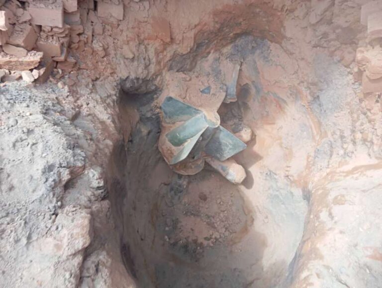
The powerful earthquake that struck Myanmar’s Sagaing region caused a surface rupture extending approximately 342 miles (550 kilometers), according to a report released by the National Aeronautics and Space Administration (NASA). The ground rupture, which stretches from north of Mandalay to south of Naypyidaw, represents one of the longest documented surface ruptures ever recorded. This finding was determined by researchers at NASA’s Jet Propulsion Laboratory in Southern California, who utilized radar and optical satellite data to analyze ground movements in the affected area.
The Sagaing earthquake originated at a depth of 10 kilometers (6 miles) along the Sagaing Fault, causing severe damage to structures near the epicenter and generating impacts that were felt as far as Bangkok, over 600 miles away. The March 28 earthquake resulted in catastrophic damage in Naypyidaw, Mandalay, and Sagaing cities, with the death toll approaching 4,000 people. According to the Department of Meteorology and Hydrology, aftershocks continue to occur, with 148 recorded tremors to date. The earthquake’s impact has been particularly devastating for local communities, resulting in widespread destruction of homes, schools, hospitals, and critical infrastructure.
Geological experts continue to conduct detailed studies of the Sagaing Fault and the fault lines associated with the March 28 earthquake, sharing their findings about the rupture patterns through social media platforms. This seismic event stands as one of the most significant natural disasters in Myanmar’s history, causing extensive damage to civilian infrastructure and resulting in widespread displacement of local populations. The scientific community’s ongoing research efforts are focused on understanding the full extent of the geological impact and potential future implications for the region’s seismic activity.