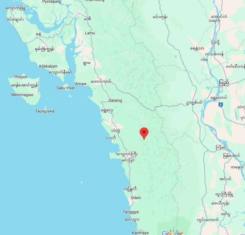
The United States Geological Survey (USGS) reported that an earthquake measuring 4.9 on the Richter scale struck near Thandwe in Rakhine State and 76 kilometers west of Myanaung in the Ayeyarwady Region at 9:44 AM on June 9. The earthquake’s epicenter was located at a depth of 50 kilometers underground. Local residents reported that the tremor was not significantly felt in the area.
A 32-year-old middle school teacher from Sittwe city stated that she did not notice the earthquake and had never experienced any major seismic activity in the region before. Local residents also confirmed that there were no reports of damage or casualties from the earthquake. The moderate intensity of the quake and its relatively deep epicenter may have contributed to the minimal impact felt on the surface.
Prior to this event, another earthquake of magnitude 5.3 on the Richter scale occurred on May 19 at approximately 1:45 AM Myanmar Standard Time. That earthquake’s epicenter was located 129 kilometers east-southeast of Sittwe, near Ramree Island, at a depth of 10 kilometers beneath the sea, according to the National Unity Government’s announcement. Rakhine State, being one of the most seismically active regions in Myanmar and located along the coastal area, frequently experiences seismic activities of varying intensities.