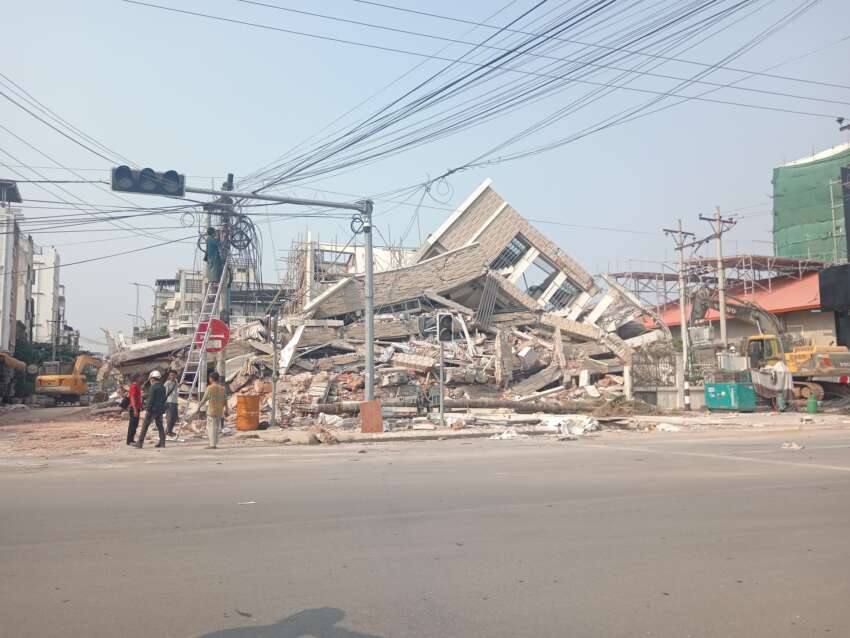
According to a statement from the National Unity Government, an earthquake measuring 5.6 on the Richter scale struck near Mawlaik city in Sagaing Region at 11:26 AM on August 22. The earthquake’s epicenter was located 35 kilometers southwest of Mawlaik at a depth of 103 kilometers. Local residents strongly felt the tremors, which caused buildings to sway and forced people to evacuate onto the streets. According to a local resident’s account, the earthquake was quite intense with noticeable building oscillations, though the extent of damage has not yet been determined.
Just a day earlier, on August 21, another earthquake measuring 4.7 on the Richter scale struck near Myanmar’s southern coast, approximately 66 kilometers southeast of Thongwa city in Yangon Region. This earthquake had its epicenter at a depth of 10 kilometers. Following the major 7.7 magnitude earthquake that struck Myanmar on March 28 this year, more than 200 aftershocks have been recorded according to official records.
Currently, minor earthquakes continue to occur frequently along Myanmar’s coastal regions. The National Unity Government has issued guidelines for citizens to follow safety protocols to minimize potential damage and casualties from earthquake hazards. Myanmar is located in a seismically active zone, making it prone to frequent earthquakes, particularly along the Sagaing Fault and coastal regions. The government has emphasized the importance of following safety measures, including what to do and what to avoid during seismic events, as well as general precautionary measures for earthquake preparedness.